A selection of yellow weather warnings have been issued for Boston over the coming days in response to predicted adverse weather.
The following details are excerpts provided directly from the Met Office.
HIGH WINDS – 00.15am – 3pm – Wednesday 1st January 2025
A period of strong winds during Wednesday may lead to some disruption.
- There is a small chance of longer journey times or cancellations as road, rail, air and ferry services are affected
- There is a slight chance of some damage to buildings, such as tiles blown from roofs
- There is a slight chance that power cuts may occur, with the potential to affect other services, such as mobile phone coverage
- There is a small chance that injuries and danger to life could occur from large waves and beach material being thrown onto sea fronts, coastal roads and properties
- There is a small chance of injuries and danger to life from flying debris
- There is a small chance that some roads and bridges could close
Visit the Met Office’s website for 5 tips for staying safe in strong wind – https://www.metoffice.gov.uk/weather/warnings-and-advice/seasonal-advice/stay-safe-in-strong-wind/stay-safe-in-strong-wind
Strong southwesterly winds are expected overnight and during Wednesday. The strongest winds are expected across coastal regions in the west and south of the warning area, where gusts of 65-75 mph are possible. Inland, highest gusts will typically be between 45 and 55 mph, but possibly 60 mph in places, particularly in association with the passage of squally cold front which will bring a band of heavy rain southwards. The wind is expected to ease quickly from the north through the course of the day as this cold front passes.
ICE – 4pm Wednesday 1st January 2025 – 10am Thursday 2nd January 2025
Icy surfaces leading to some difficult travel conditions.
- Probably some icy patches on some untreated roads, pavements and cycle paths
- Some injuries from slips and falls on icy surfaces
Visit the Met Office’s website for 4 tips for staying safe in ice – https://www.metoffice.gov.uk/weather/warnings-and-advice/seasonal-advice/stay-safe-in-ice/stay-safe-in-ice
A band of rain, sleet and hill snow will clear southwards during Wednesday afternoon and evening. As skies clear in its wake, and with standing water following earlier rain in places, ice is likely to form quite quickly on untreated surfaces, leading to difficult travel conditions. Wintry showers are also likely along some north-facing coasts overnight, increasing the chance of ice in places.
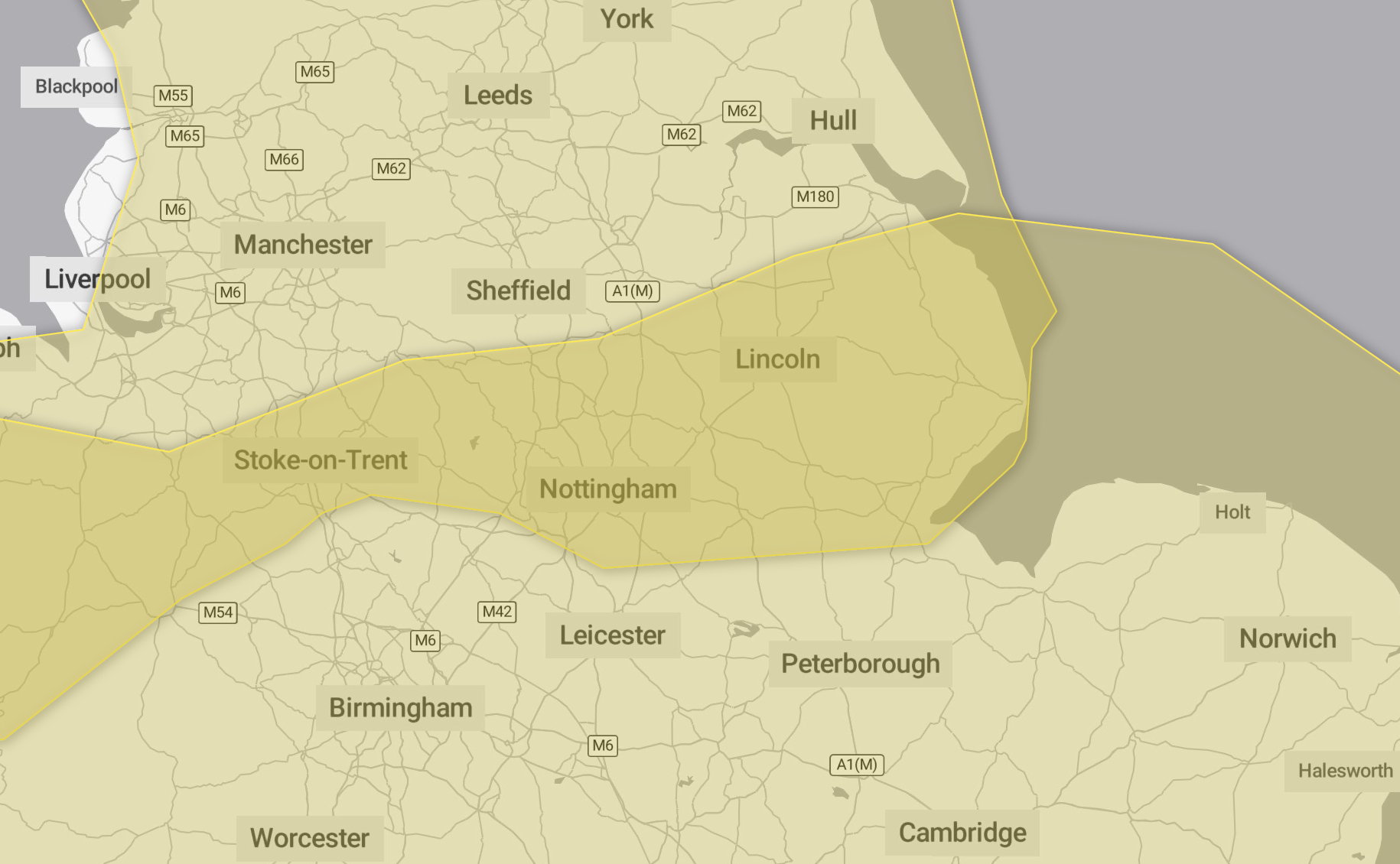
SNOW – Saturday 4th January – Monday 6th January 2025
Heavy snow may cause some disruption over the weekend
- There is a small chance that power cuts will occur and other services, such as mobile phone coverage, may be affected
- There is a slight chance that some rural communities could become cut off
- There is a chance of travel delays on roads with some stranded vehicles and passengers, along with delayed or cancelled rail and air travel
Visit the Met Office’s website for 5 tips for staying safe in snow – https://www.metoffice.gov.uk/weather/warnings-and-advice/seasonal-advice/stay-safe-in-snow/stay-safe-in-snow
Outbreaks of rain spreading northeastwards later on Saturday and overnight into Sunday will likely be preceded by a spell of snow on its northern flank. Whilst there is a fair bit of uncertainty as to how far north this may spread, and how long any snow will last, significant accumulations of snow are possible, especially (but not exclusively) on hills. Currently, parts of the Midlands, Wales and northern England are most at risk of disruption, where 5cm or more could accumulate fairly widely, with perhaps as much as 20-30 cm over high ground of Wales and/or the Pennines. This, accompanied by strengthening winds, may lead to drifting of lying snow.
In addition, as milder air attempts to move northwards into southern and central areas, snow may turn to a spell of freezing rain for a time, adding to the risk of ice. If milder air is able to spread more bodily northwards, any snow in southern parts of the warning area may be relatively short-lived before turning to rain.
Given the uncertainties, it is quite likely this warning area and start/end times will be refined over the coming days as confidence increases in areas most likely to be impacted.