The yellow weather warning for rain, issued by the Met Office due to Storm Goretti, has now been cancelled after the most persistent and heaviest rainfall moved through the region.
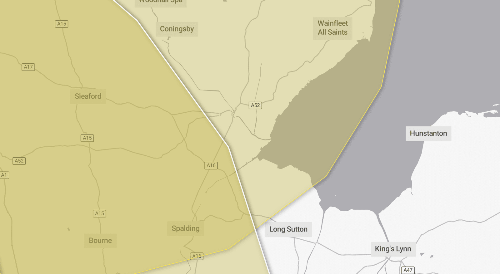
However, residents across Boston and wider Lincolnshire are being urged to remain alert, as a new yellow weather warning for snow and ice is now in force from 12pm today (Friday 9 January) until 3pm on Saturday 10 January.
Forecasters say wintry showers feeding in from the North Sea will continue through Friday afternoon, evening and overnight into Saturday morning. While not all areas will be affected, some places could see snow accumulations, with ice posing a more widespread risk, particularly overnight as temperatures fall below freezing.
The Met Office warns the conditions could lead to:
- Longer journey times on roads and railways, with disruption to bus and train services
- Injuries from slips and falls on icy surfaces
- Icy patches on untreated roads, pavements and cycle paths
Snow accumulations are expected to be most likely on higher ground, with 2–5cm possible above 100 metres, while parts of central and eastern Scotland could see 10–15cm above 300 metres. Closer to home, ice is expected to be the primary hazard, especially away from immediate coastal areas.
Snowy and wintry weather can make travel hazardous. Residents are advised to plan journeys carefully, allow extra time, and check for road closures or public transport delays before setting off. Avoiding the need to rush can significantly reduce the risk of accidents.
Drivers are encouraged to carry essentials in their vehicles in case of delays, including warm clothing, food and water, a blanket, torch, ice scraper or de-icer, a warning triangle, high-visibility vest and a phone charger.
Those travelling on foot or by bicycle should, where possible, stick to main roads and pavements, which are more likely to have been treated.
Weather warnings can change quickly, and the Met Office advises people to stay up to date with local forecasts as conditions evolve.